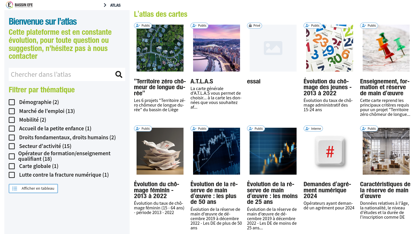
A.T.L.A.S
webGIS application
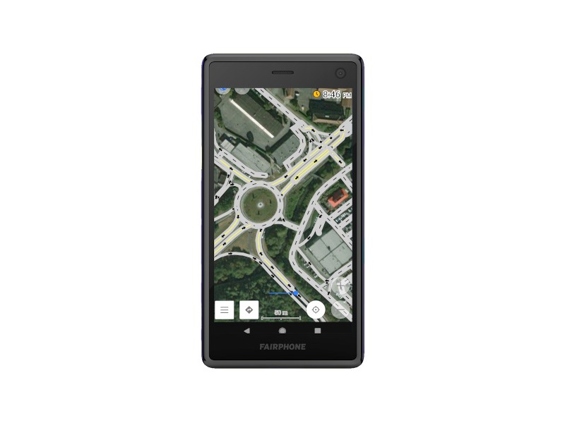
QGIS plugin & OsmAnd configuration
Software development for an R&D project on street lighting measurement.
Biommap
Citizen mapping with GeoNature
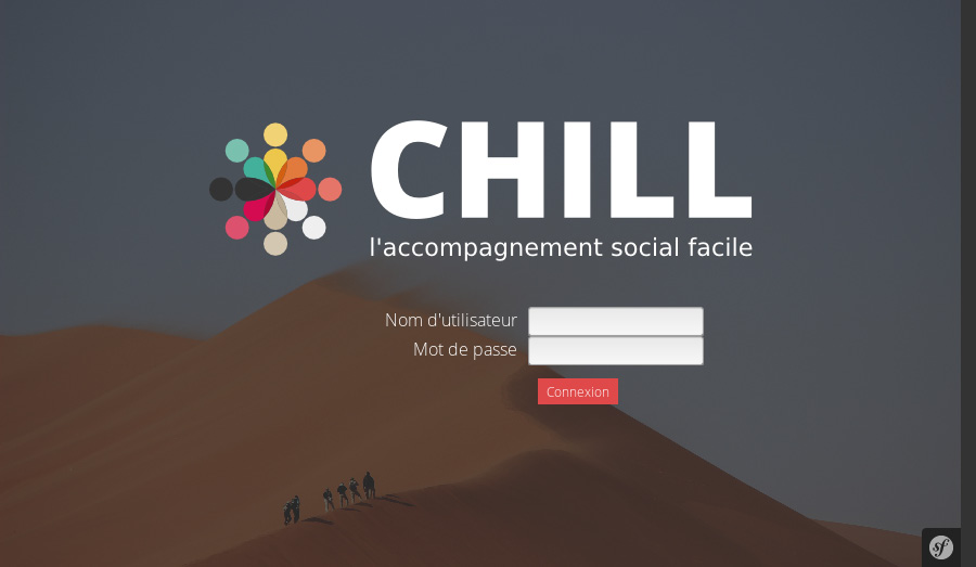
CHILL
CHILL implementation for various social services in Belgium
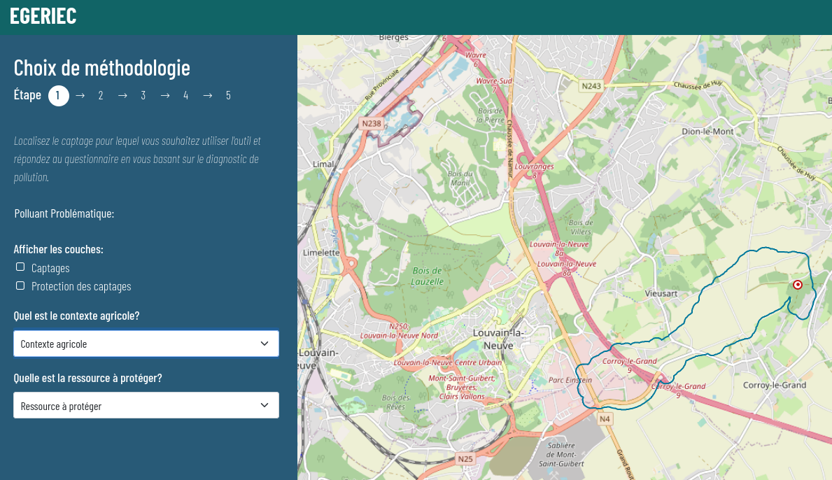
Egeriec
WebGIS application for the identification and diagnostic of water pollution.
Natagriwal
Geomatic support
Support PostGIS and QGIS
Software support for a R&D project of monitoring of street lighting
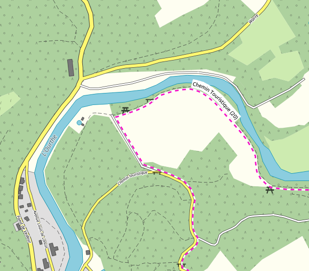
Natagora
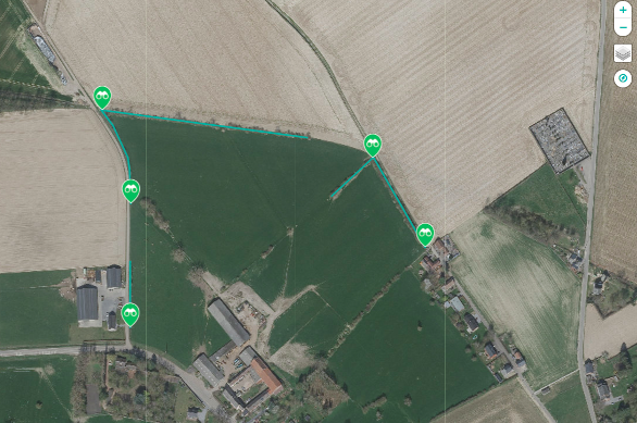
Création automatique de cartes de promenades.
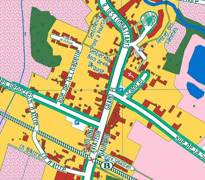
Brugelette
Participatory mapping of Brugelette
Perspective
Plateforme de Veille des Plans et Projets Urbains